
A couple of years ago, a big fall storm / flood destroyed several bridges on Oregon Hwys 35 and 26 making it impossible to reach the Mt. Hood Meadows Ski Area for several weeks. During the same storm, the bridge that crosses the Hood River just west of Parkdale (the middle fork, I think) was lost, as well.
In order to use the route that crosses over Vista Ridge to Red Hill Road between Lolo Pass Road and Parkdale, it is necessary to cross the river. There are no homes west of the river, so nobody knows (or cares particularly) when the road will open again. But, it is kind of a cool ride and we’ve all ridden it many times as it was previously part of the Road Race Course for the Mt. Hood Cycling Classic.

Eric Sletmoe had crossed the river recently from the Parkdale side and was able to persuade the rest of us that it would be a good route for the Saturday morning Hood River Group Ride that leaves from Ground Coffee Shop at 8am. Lara had made the portage, as well, and 8 o’clock is too early to argue about stuff like this, anyway…
The ride is pretty incredible, as it uses a lot of National Forest Service road that pretty much goes to “nowhere”. The tricky part is that around here “nowhere” is usually “up there somewhere”, so there’s going to be some climbing.
I haven’t totally figured out the NFS road labeling system, but I think it’s something like this – 2 digit numbers are paved, 4 digit numbers are spurs of 2 digit numbers and if they end with a zero, they are kind of paved. Avoid the odd numbered 4 digit variety – we did some four digits with zeros – they were just fine.

In any case, we made it safely on pretty good roads, and since we crossed the river relatively early in the day the water level was pretty low. Most of us took our shoes off so that we could walk across the temporary “bridges” that had been made and our feet never even got wet.
We stopped at The Taqueria for some burritos afterward and it all made for a pretty good day.
")


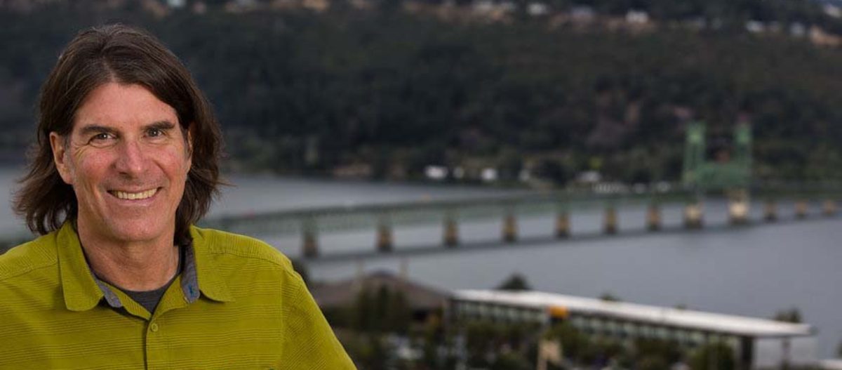
 This ride starts in downtown The Dalles – next to a Taco Del Mar (good fast food) and a Tavern that serves a decent burger and sandwiches (Zims).